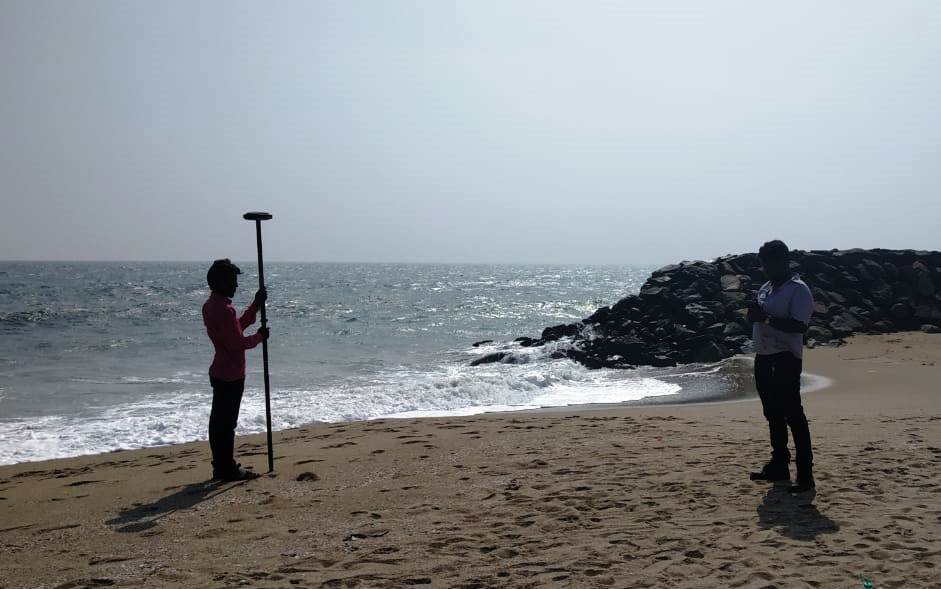
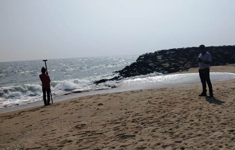
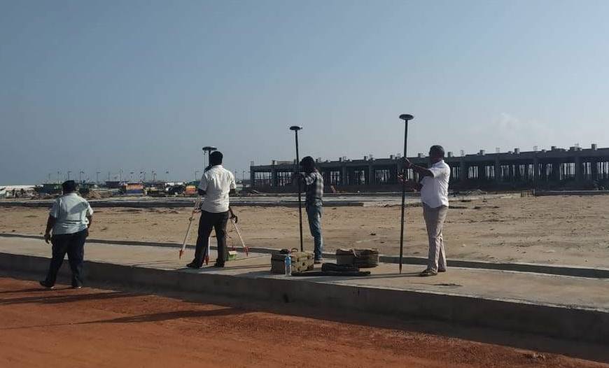
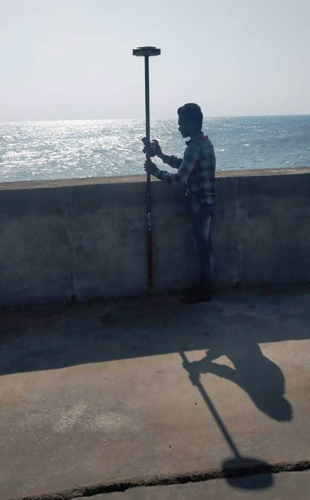
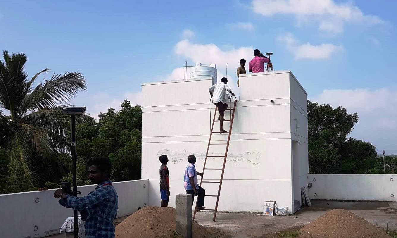
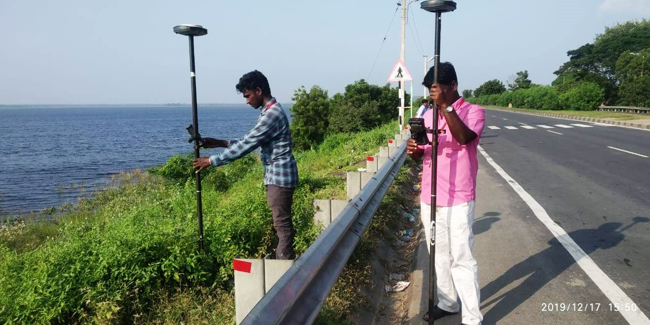
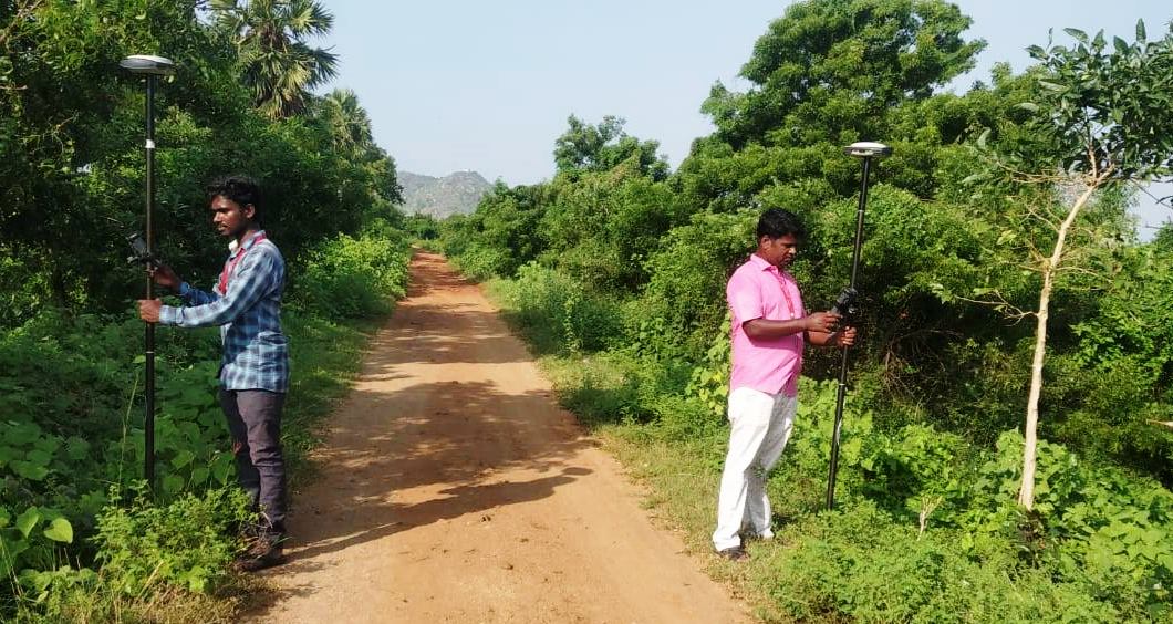
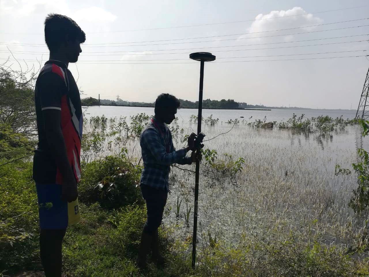
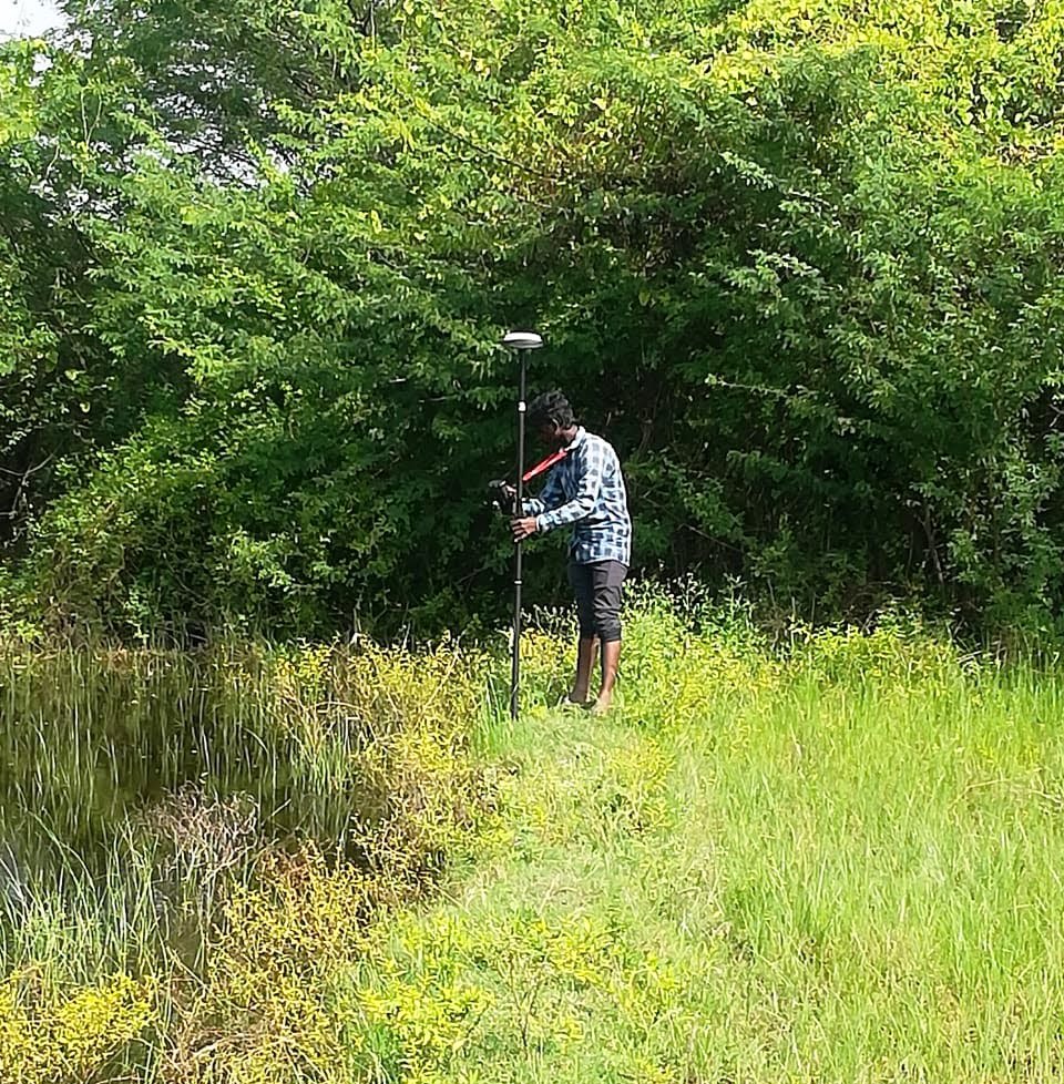
Topographic survey data shows the existing vertical or configuration of the profile of a identified surface / coastal / river-bunds etc. to transfer of Bench Mark
- Trimble RTK DGPS systems
- Leica RTK DGPS systems
- Leica Total stations
- Sokkia Total station
For field data,
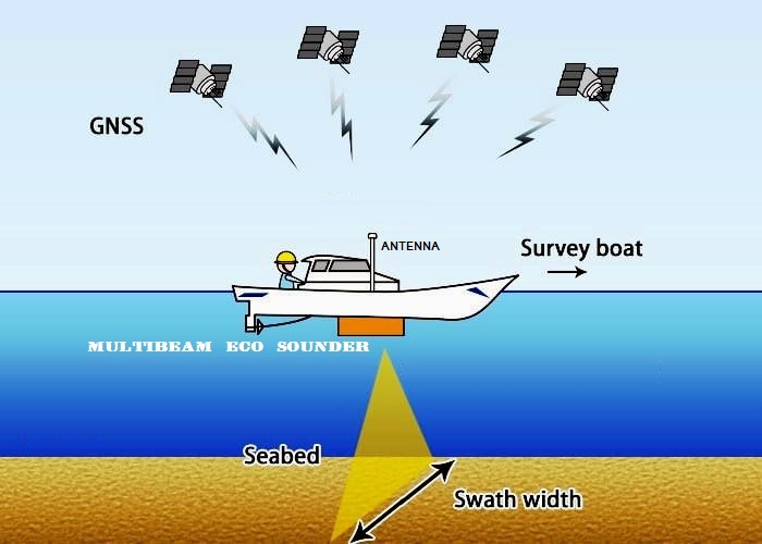
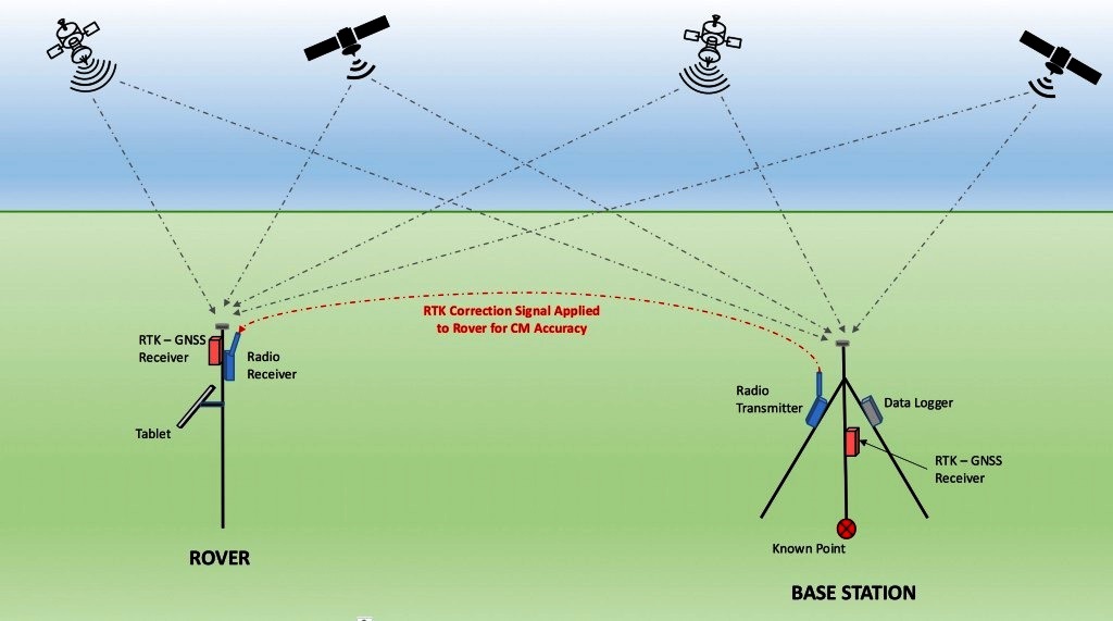
The positioning technique is referred to as code-based positioning, because the receiver correlates with and uses the pseudorandom codes transmitted by four or more satellites to determine the ranges to the satellites. From these ranges and knowing where the satellites are, the receiver can establish its position to within a few metres. Bathymetry Soundings / profile survey using Eco sounder, DGPS, Trimble, Total station and with its accessories will be executed on a specified date and time as agreed by the Client ., All levels are referred on par with the Client’s referred level nearer to the site of survey and taken as a referred BM for the entire survey.


-
-
F1, Vasanth Anbalaya Apartments,
#81 - Lakshmi Nagar, 1st Main Road,
New Saram, Puducherry - 605013,
India.  +91 9500766336 / +91 9445533399
- oecs.chennai@gmail.com
 oceanengineeringconsultancyservices.com
Contact Us
-
F1, Vasanth Anbalaya Apartments,
-
Location